RCRC Launches Comprehensive Survey of Land and Building Usage in Riyadh

The Royal Commission for Riyadh City (RCRC) has launched a city-wide field survey to evaluate land and building usage throughout Riyadh. Covering 5,960 square kilometers within the city’s development protection boundaries, the initiative aims to survey and catalog the entire inventory of land parcels and built-up assets. Detailed data points include plot area, land use classification, structural typologies, building condition assessments, and key attributes such as floor counts and usage profiles.
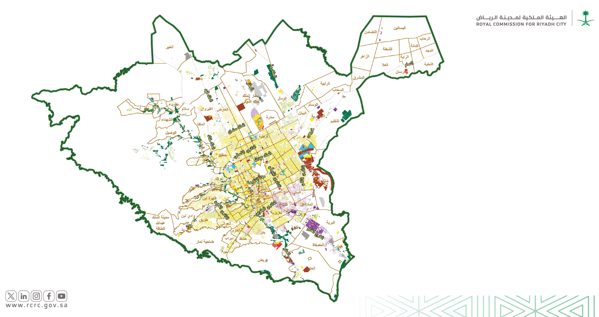
This initiative aligns with Riyadh’s rapidly expanding population and the accelerated urban and economic development seen across all sectors. The RCRC remains committed to maintaining and updating these insights through comprehensive land-use and building surveys, ensuring its urban databases accurately reflect the city’s evolving conditions.
The resulting database will serve as a vital resource for urban planning, development projects, academic research, and policy formulation. It will benefit the RCRC, other government bodies, private-sector stakeholders, and researchers involved in shaping Riyadh’s future urban landscape.