HOME / PUBLICATIONS
Land Uses for the City of Riyadh in 1430H
Land Uses for the City of Riyadh in 1430H
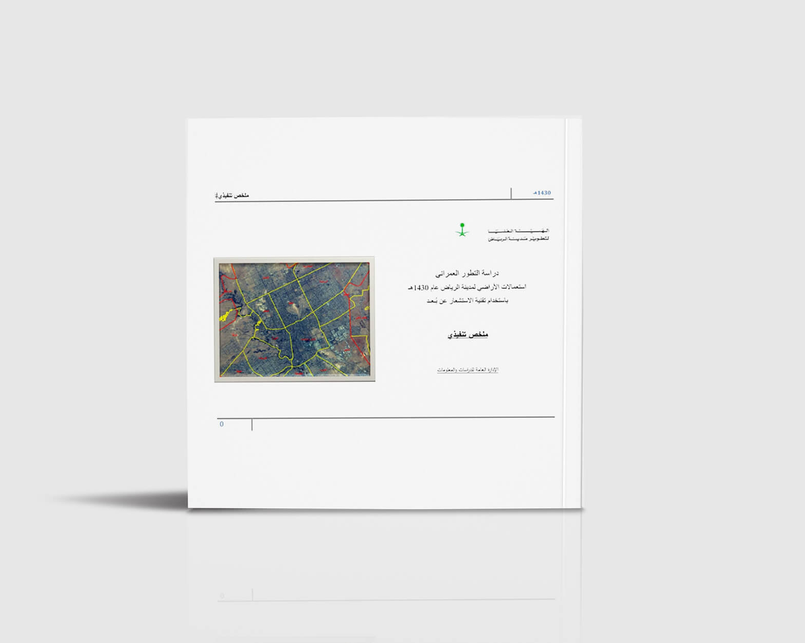
This study is concerned with following up on the urban development of the city of Riyadh by updating the land use study using remote sensing technology. It relied on surveying by scientific methods, starting with correcting and reconstructing satellite images with high spatial resolution, through conducting an integrated visual interpretation and taking field samples that were used as a means of verifying the classifications extracted from the interpretation, and ending with the issuance of a modern land use map that includes the main classifications. The survey also included recording the type of building, its characteristics, and the building materials used in its construction.
The objectives of the study are summarized as follows:
- Updating the land use data of the city of Riyadh to be used in serving urban planning purposes.
- Updating and enriching the spatial information of the basic digital map prepared by the commission for the city of Riyadh.
- Identifying the trends of urban growth of the city until 1430 AH.
- Inventory of developed urban areas and ground space and know their patterns and types and thus identify their areas and numbers.
The study covered the city of Riyadh up to the limits of the protection of development adopted at the time with an area of 5,300 km2.