HOME / PUBLICATIONS
Atlas of Land Prices and Housing Units’ Rents (2008)
Atlas of Land Prices and Housing Units’ Rents (2008)
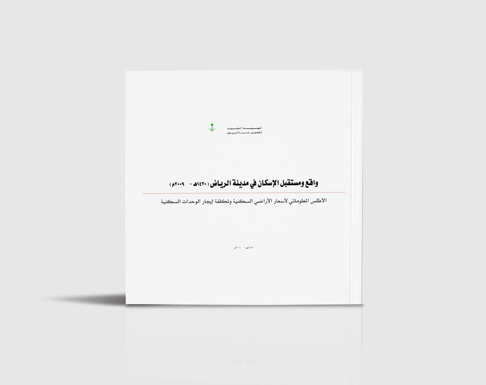
The Information Atlas of Average Land Prices and Average Rents of Residential Units in Riyadh City consists of a set of interactive maps linked to a spatial database (Riyadh Digital Map), and a metadata database representing all the data collected from the field survey of residential unit rents and land prices in the city of Riyadh distributed in neighborhoods of sub-municipalities.
The atlas is built and integrated with GIS within the ArcGIS software environment. The atlas provides the ability to prepare all housing cost characteristics by geographical areas, and it also contributes to the processes of updating housing data and allows it to be analyzed compared to any other data in the city of Riyadh, which contributes to supporting decision-making work of a spatial nature to design future scenarios.
