HOME / PUBLICATIONS
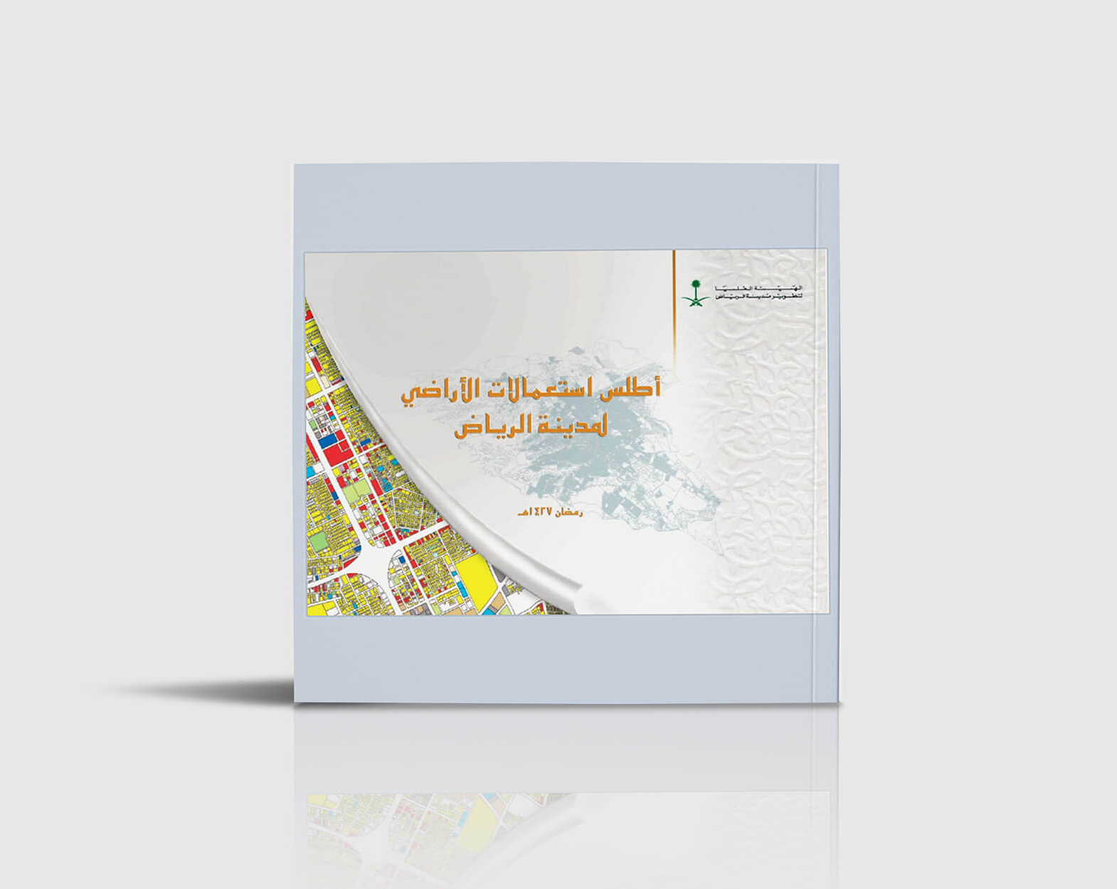
Atlas of Land Use 1427H
Atlas of Land Use 1427H
8 May, 2023
The Land Use Atlas is concerned with providing comprehensive data and maps on the land use of the city of Riyadh for use in the service of urban planning purposes and studies carried out by the Royal Commission for Riyadh City or other government agencies involved in the development of the capital.
The most important themes of the atlas include the following:
- Boundaries of the protection of development for the city of Riyadh.
- Names and boundaries of sub-municipalities and neighborhoods.
- Block and plot divisions of the city – land uses for each plot of land in the city.
- A table of use areas for each neighborhood.
- The population of each neighborhood (according to the household survey project).
- The number of housing units in each neighborhood.
- The general population density of the neighborhood.