HOME / PUBLICATIONS
Riyadh Atlas
Riyadh Atlas
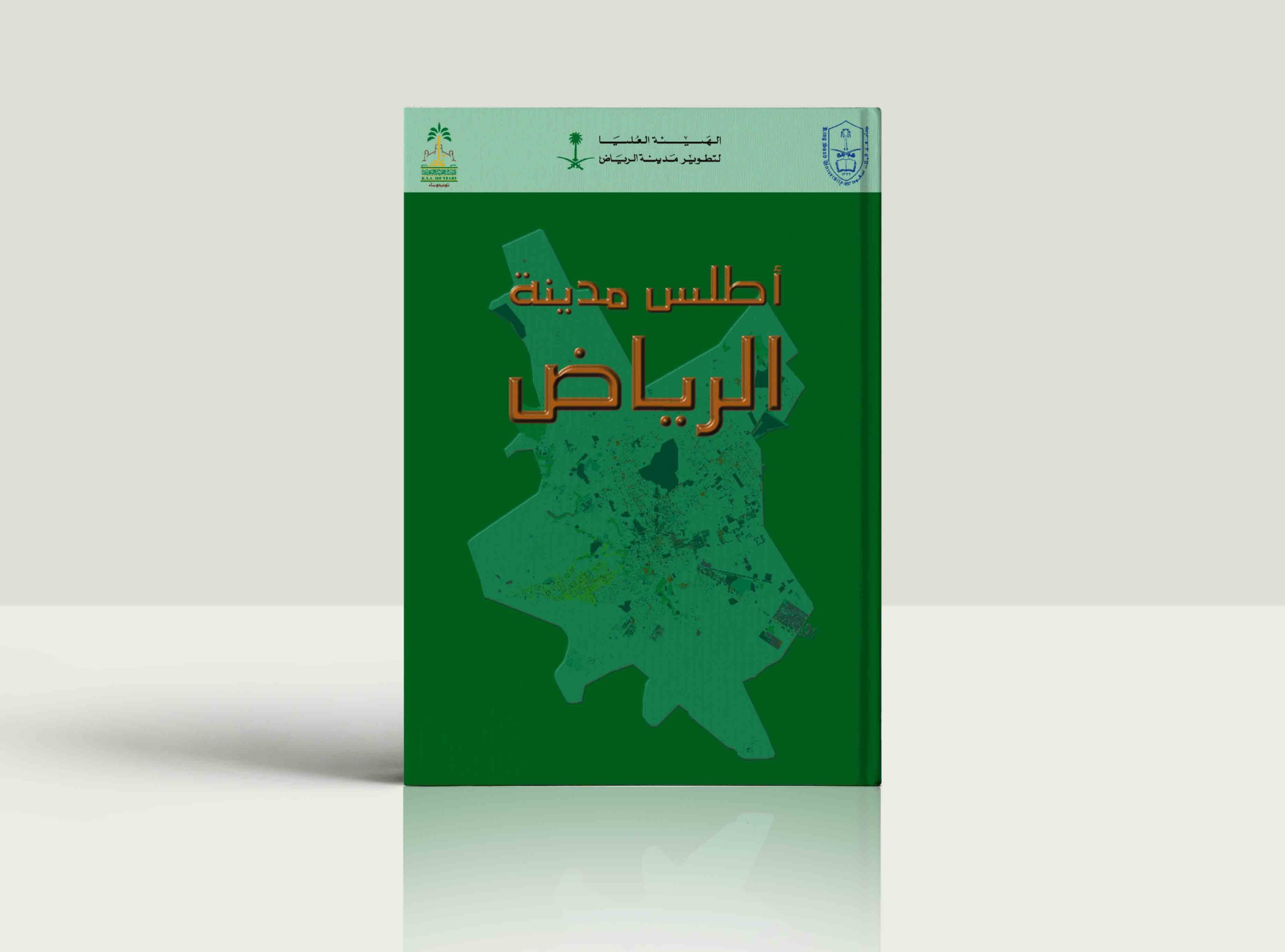
Riyadh Atlas includes 40 maps drawn based on the administrative division of Riyadh city and Riyadh region by sub-municipalities, along with many tables and diagrams that give an overview of the geography and topology of the city.
The Atlas consists of six parts, the first of which covers Riyadh’s administrative region, while the other parts focus on the city of Riyadh in terms of the natural environment, population, land uses, transport, and public utilities.
The data contained in the Atlas are based on the studies of RCRC and other relevant data received from ministries and other government agencies. Part I maps, diagrams, tables, and map annotations were produced in the Geography Department at King Saud University, while all other parts of the atlas were produced by the Commission’s urban information system.